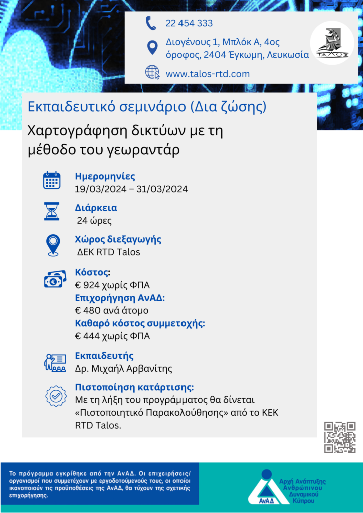
Mark your calendars and join us at this interesting training course!
The need to upgrade and maintain underground networks requires an effective method of mapping what is underground. The georadar method is the most reliable and effective method, giving the user an image of metallic and non-metallic targets, their geographical position, their depth and even, even approximately, their size and diameter.
The use of the georadar and the understanding of the data it gives require the training of the operators, both at the level of parameterization before receiving the data and at the level of processing it.
Thus, this seminar comes to cover an important gap, giving the necessary knowledge to those who want to use ground-penetrating radar as a tool in their work.
The training will be in Greek.

